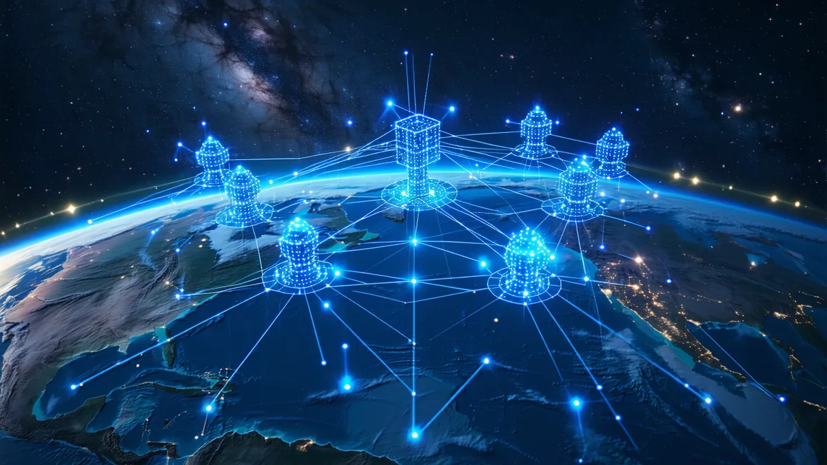
See change as it happens, not hours later
Earth observation satellites produce continuous imagery of land, water, and infrastructure. The limiting factor isn't sensor resolution — it's the time between collection and analysis.
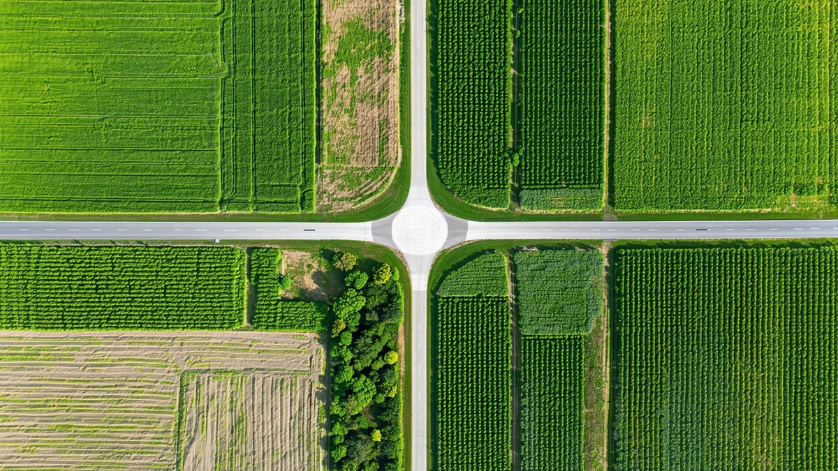
With TILE, change detection algorithms run in orbit at sensor rate. Vegetation change, coastal erosion, urban development, crop stress markers — classified and flagged before the satellite completes its pass. Only relevant frames and alerts are downlinked.
- Disaster response: wildfire spread, flood extent available before next downlink
- Agricultural monitoring: crop stress detection at full constellation cadence
- Infrastructure surveillance: anomaly alerts without sending raw imagery to ground
Time-critical intelligence. On-orbit cueing.
Defense satellite operators face a structural challenge: the most time-sensitive imagery is also the most bandwidth-intensive. Moving all data to ground for processing creates a latency that can erase the operational value of a collection.
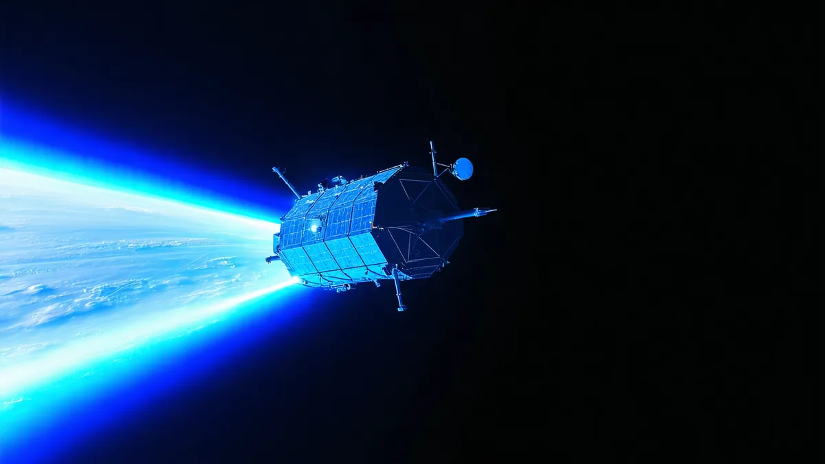
TILE enables on-orbit cueing — detecting and classifying objects or events of interest in orbit, flagging them, and downlinking a prioritized, compressed packet rather than the full raw sensor output. The decision about what matters is made at the sensor.
Defense Use Case DetailsAggregate and analyze sparse sensor networks before downlink
IoT satellite constellations collect signals from thousands of distributed sensors — ships, agricultural tags, logistics assets, environmental monitors. The data volume is enormous. Most of it isn't interesting.
TILE runs edge fusion in orbit — aggregating signals across a pass, filtering against expected patterns, surfacing anomalies and alerts. Maritime operators get vessel exception reports. Agricultural platforms get field stress alerts. All before the satellite downlinks.
IoT Use Case Details